Explorers of the world, rejoice! There is now a new way to explore the world, right from the palm of your hand. Gone are the days when the only way to get a bird’s eye, 3D view of your favorite metropolitan area was from the window of a penthouse apartment or helicopter. Now you can soar above your favorite cities in 3D, with Google Earth for mobile.
New 3D Imagery
We recently shared a preview of this striking new 3D imagery and starting today, you can take flight yourself with our latest version of Google Earth for Android. An updated version of Google Earth for iOS will be also be available soon.
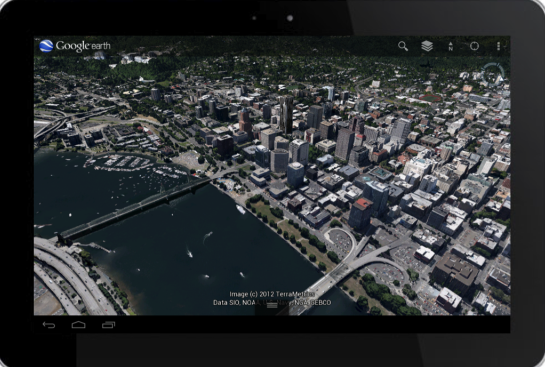 |
| New 3D imagery of Portland, Oregon |
Creating this comprehensive 3D experience is possible due to advanced image processing. Using45-degree aerial imagery, we're able to automatically recreate entire metropolitan areas in 3D. This means every building (not just the famous landmarks), the terrain, and any surrounding landscape of trees are included to provide a much more accurate and realistic experience.
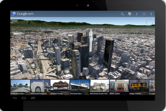 |
| Tour guide showing top destinations around Los Angeles |
No comments:
Post a Comment